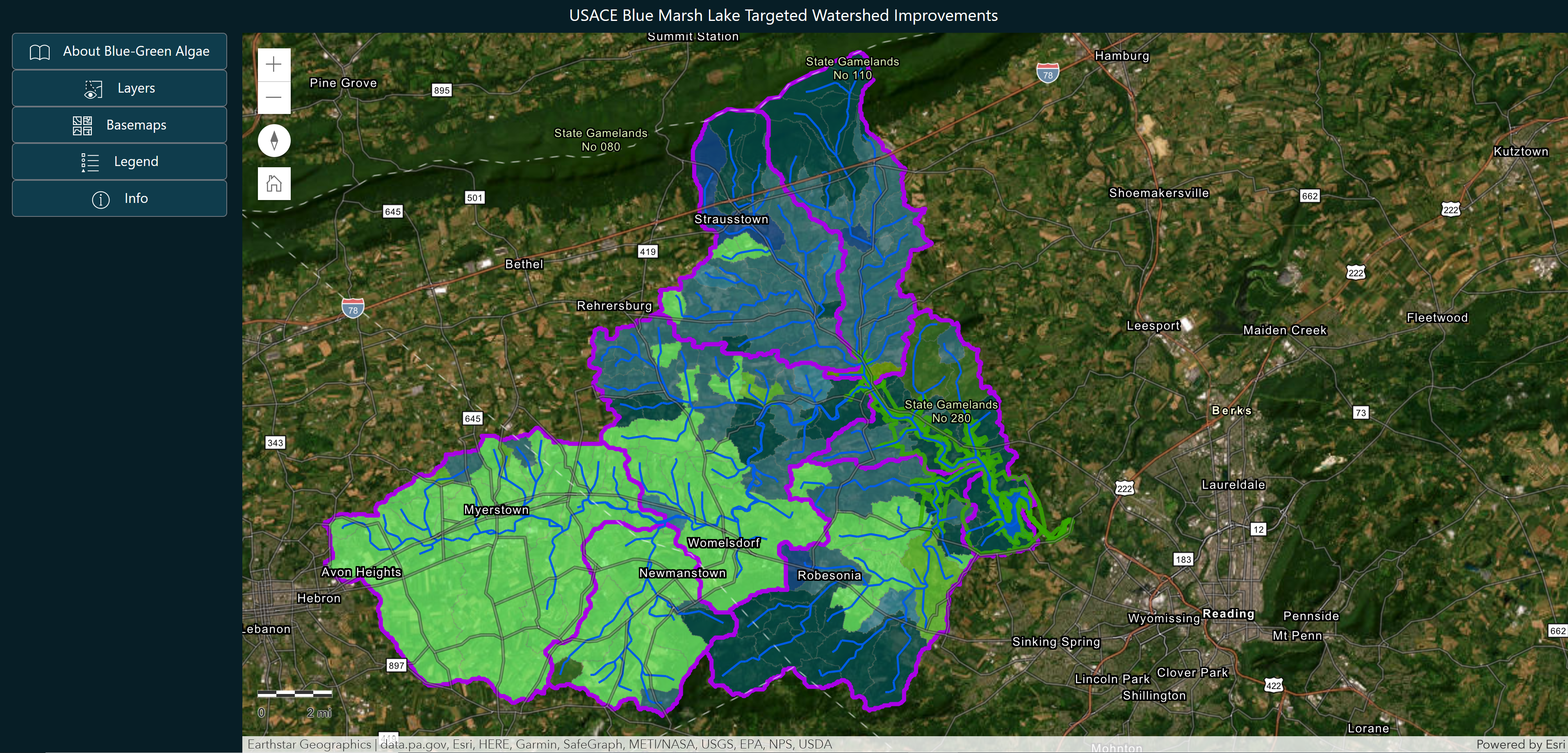
This project serves two purposes: to educate the public on blue-green algae, and also to help park rangers at USACE Blue
Marsh Lake in Leesport, PA identify locations within contributing watersheds to install Best Management Practices (BMPs) in
order to reduce excess nutrient runoff entering the waterways. This website is split into two pages to achieve each of those
goals. The public can scroll through a narrative page to learn about formation, identification, health impacts, and current
management practices of blue-green algae at the lake. The second page is an interactive web map that allows users to see
topography, streams without vegetated buffers, soil erodibility rates, nitrogen and phosphorus loading rates, and also the
estimated nutrient reduction per drainage basin of installing various BMPs of a location where they click.